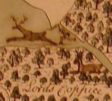
Forests and Chases
Data and mapping generated from the ‘Forests and Chases of England and Wales’ project at St John’s College and the School of Geography and the Environment, University of Oxford

Saints and Settlements
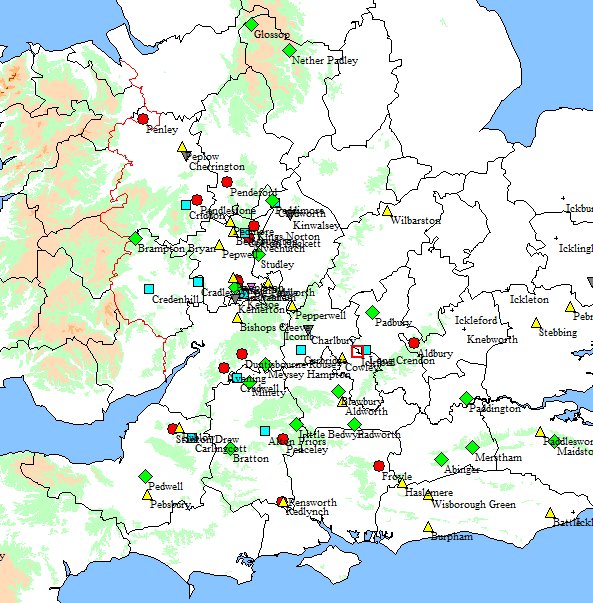
Data generated for TASC, the Transnational Atlas and Dataset of Saints’ Cults, particularly concerned with the dedications of churches and other religious locales

Other themes
Papers and other material from a variety of conferences, talks, and miscellaneous schemes of work